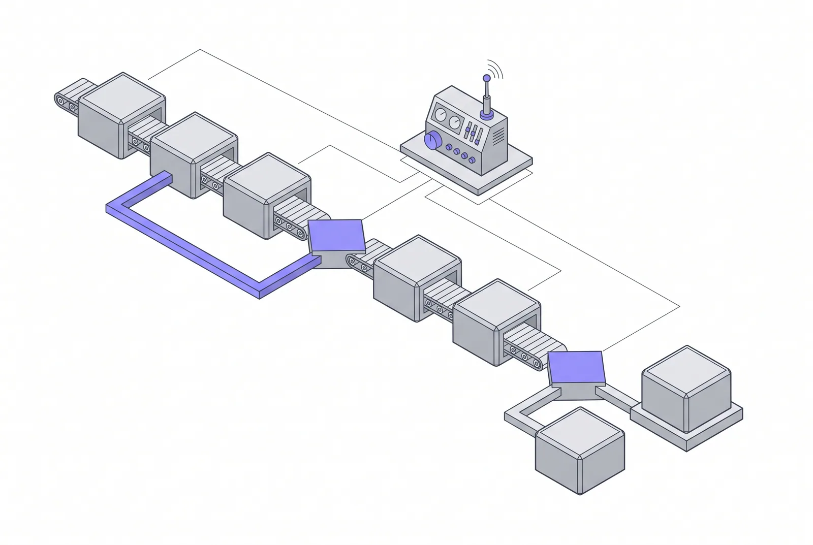
Polaris
Autonomous Process Engineering
Workflows that sense, decide and act on their own, with humans supervising the exceptions.
Orbit · Software Engineering · Service 6 of 6 · Semantic layer
Location and telemetry systems for fleets, assets and field operations, from device to decision.
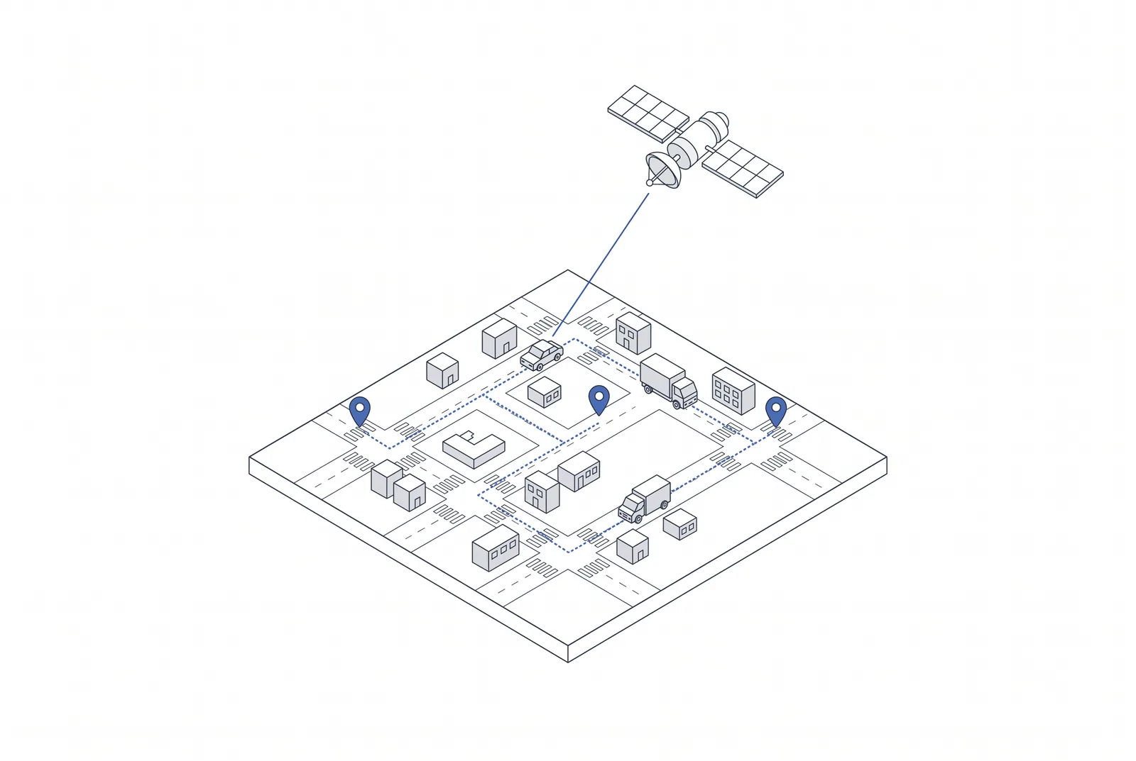
GPS Tracking and Telematics
Telematics feeds naturally into the Intelligence division's autonomous processes and predictive models, enabling dispatch optimisation, maintenance prediction and exception-based supervision rather than screens full of moving dots.
Capabilities
In the Operational Model
Vehicles, assets and trips are first-class objects in the semantic layer with continuously updated state. Geofence events and rules act in the kinetic layer; predictive maintenance and optimisation belong to the adaptive layer.
Where this service sits in the model
What you receive
Related services
Polaris
Workflows that sense, decide and act on their own, with humans supervising the exceptions.
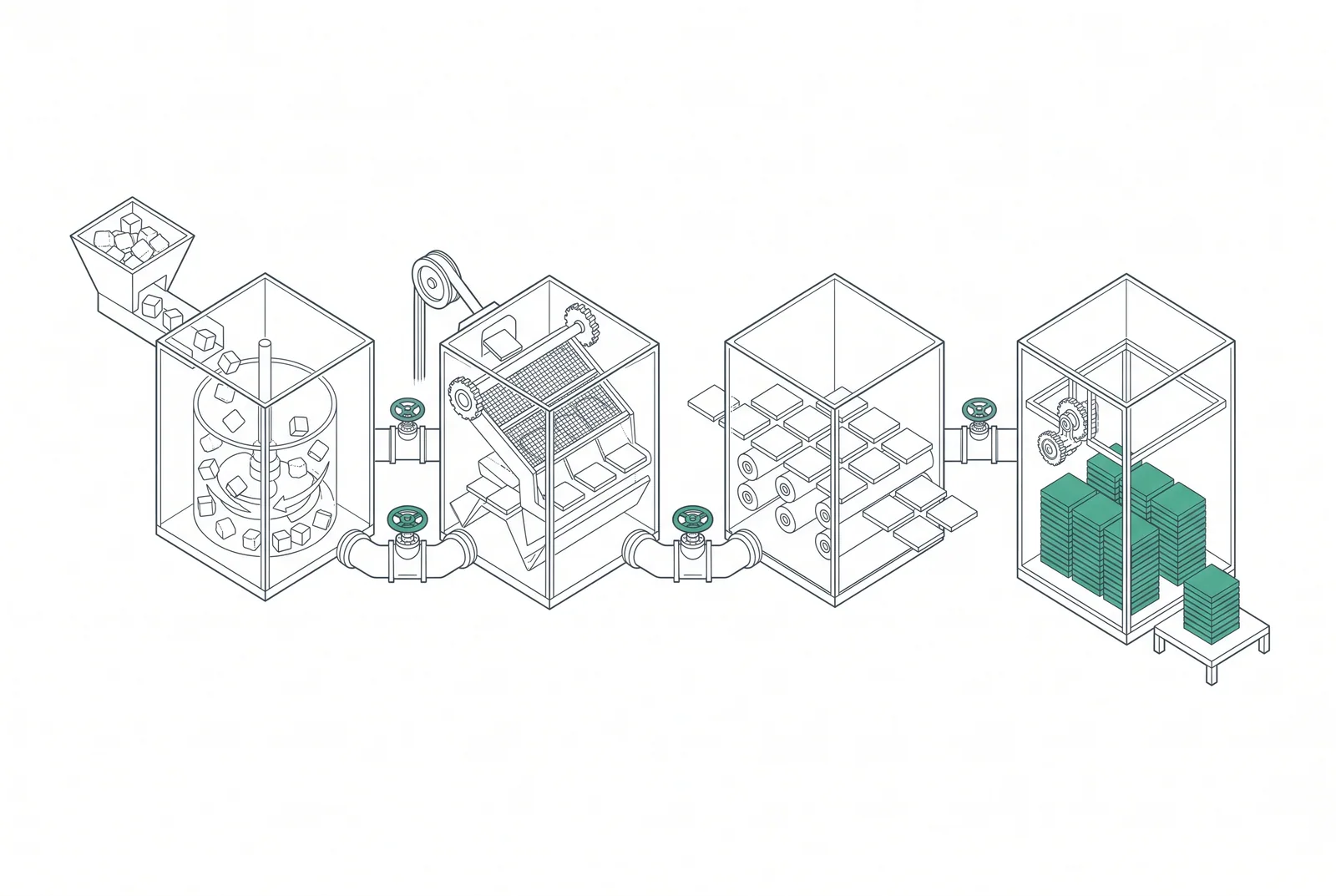
Terra
Reliable movement and transformation of data between sources, platforms and consumers.
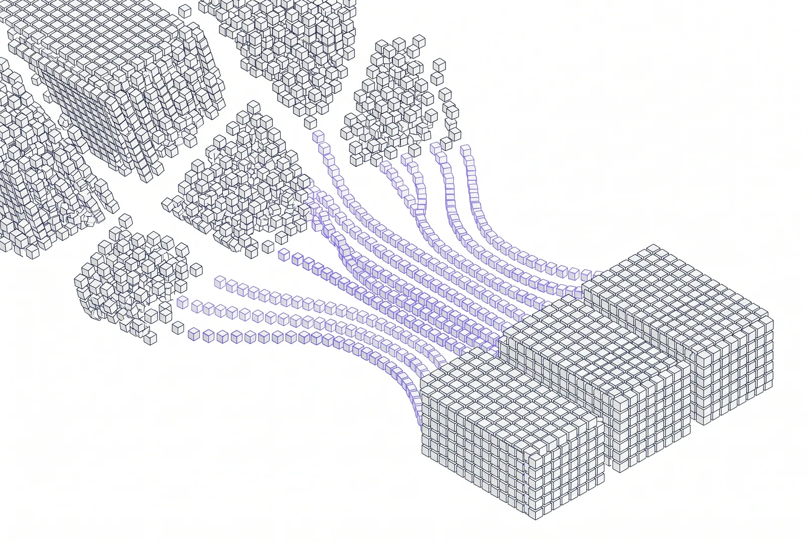
Polaris
Storage, processing and query architectures for data volumes that outgrow conventional tools.